
← All projects
Research
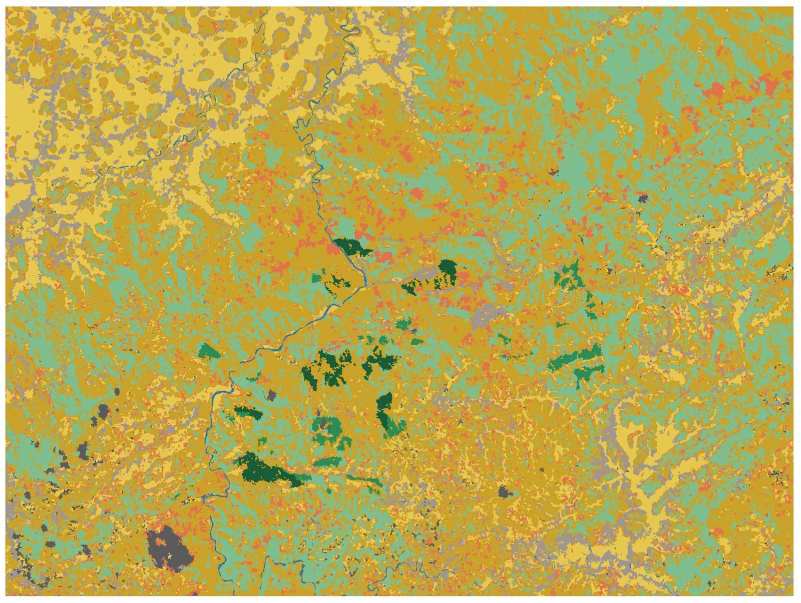
Object-Based Land Cover Classification for Cisokan
A 9-class, 3 m land cover map built from 10 PlanetScope images, radar and canopy-height data, reaching 89.5% overall accuracy.
- overall accuracy
- 89.5%
- kappa coefficient
- 0.875
- image segments classified
- 316k
- map resolution
- 3 m
The challenge
From space, Cisokan’s paddy fields, mixed gardens, production forest and natural forest look alike. Pixel-by-pixel classification of 3 m imagery is noisy (salt-and-pepper errors), and telling forest subtypes apart is the hardest part.
Our approach
- Data: 10 PlanetScope images over two years, ALOS PALSAR L-band radar, and canopy-height data.
- Segmentation: the image is split into ~316,000 homogeneous segments with LSMS (Orfeo ToolBox), and 591 features are computed per segment: spectral, seasonal, radar and canopy structure.
- Hierarchical classification: a level-1 Random Forest separates 7 broad classes, then a level-2 Random Forest splits dense vegetation into natural forest, production forest and agroforest.
- Validation: field training points split 70/30 for training and testing, plus 5-fold cross-validation.
Results
- 89.5% overall accuracy (kappa 0.875) on held-out segments the model never saw; 92.0% ± 1.6% in cross-validation. Every level-1 class reaches F1 ≥ 0.82.
- Canopy height is the most important feature, and L-band radar helps separate woody biomass.
- Finer segmentation lifted cross-validated accuracy from 81% to 88.7% and made the model far more stable.
- Forest subtypes (level 2) reach 57.5% so far. The next step is more field samples of production forest.
Photos
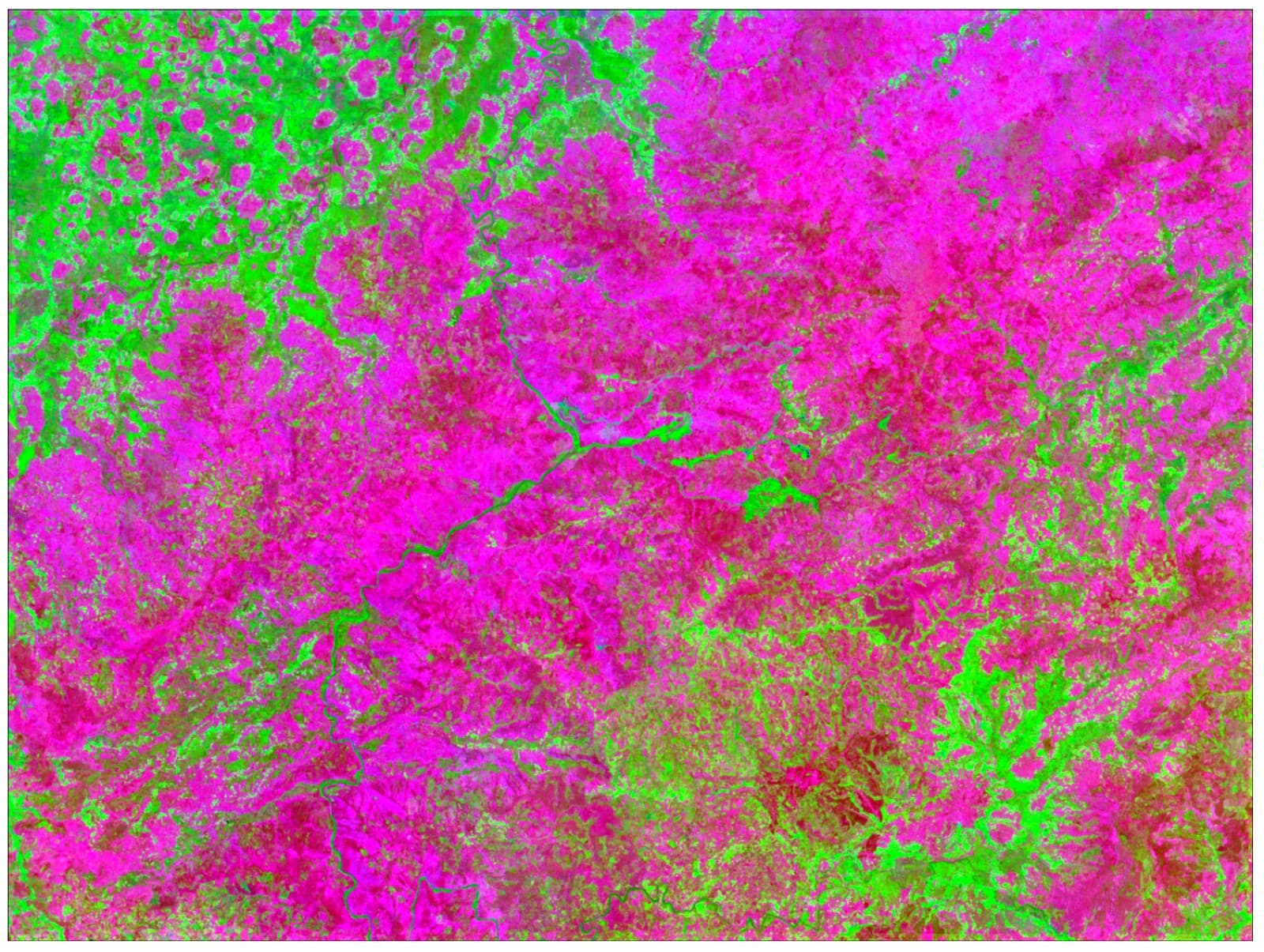
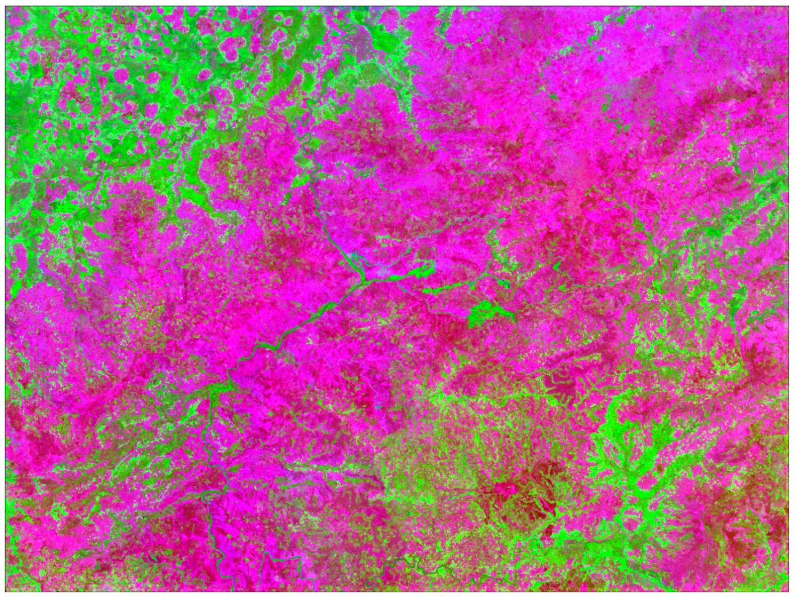
False-colour infrared composite of the Cisokan watershed used as classifier input 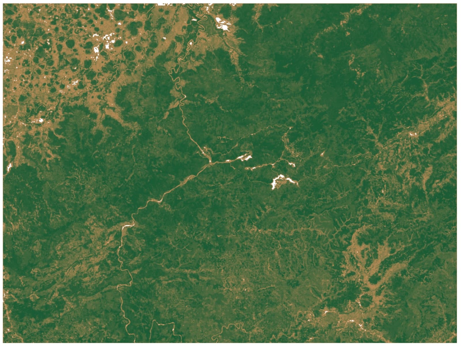
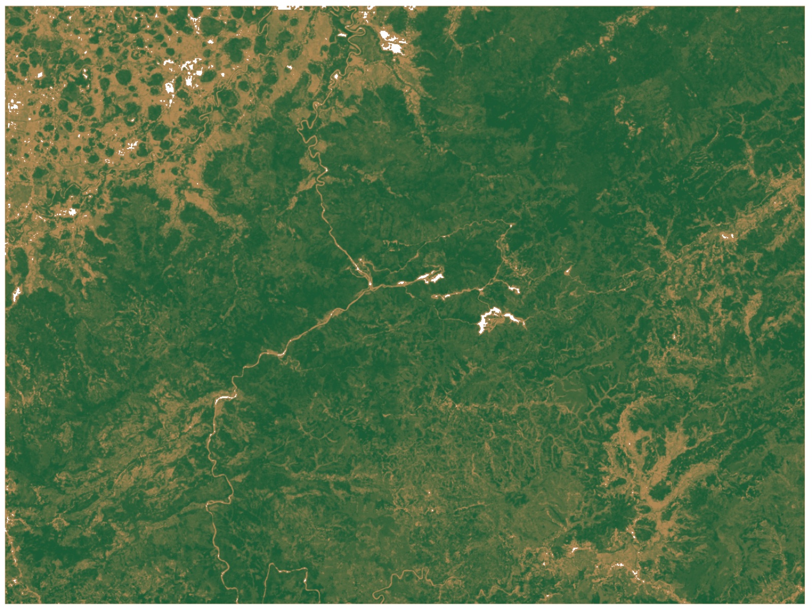
Vegetation index of the Cisokan watershed: green = dense vegetation
Working on something similar?
Tell us what you need — we can help from field survey and analysis through to training your team.