
Indotechsa
Projects & Research
Client projects, applied research and training programmes — from field mapping to satellite-based land cover classification.
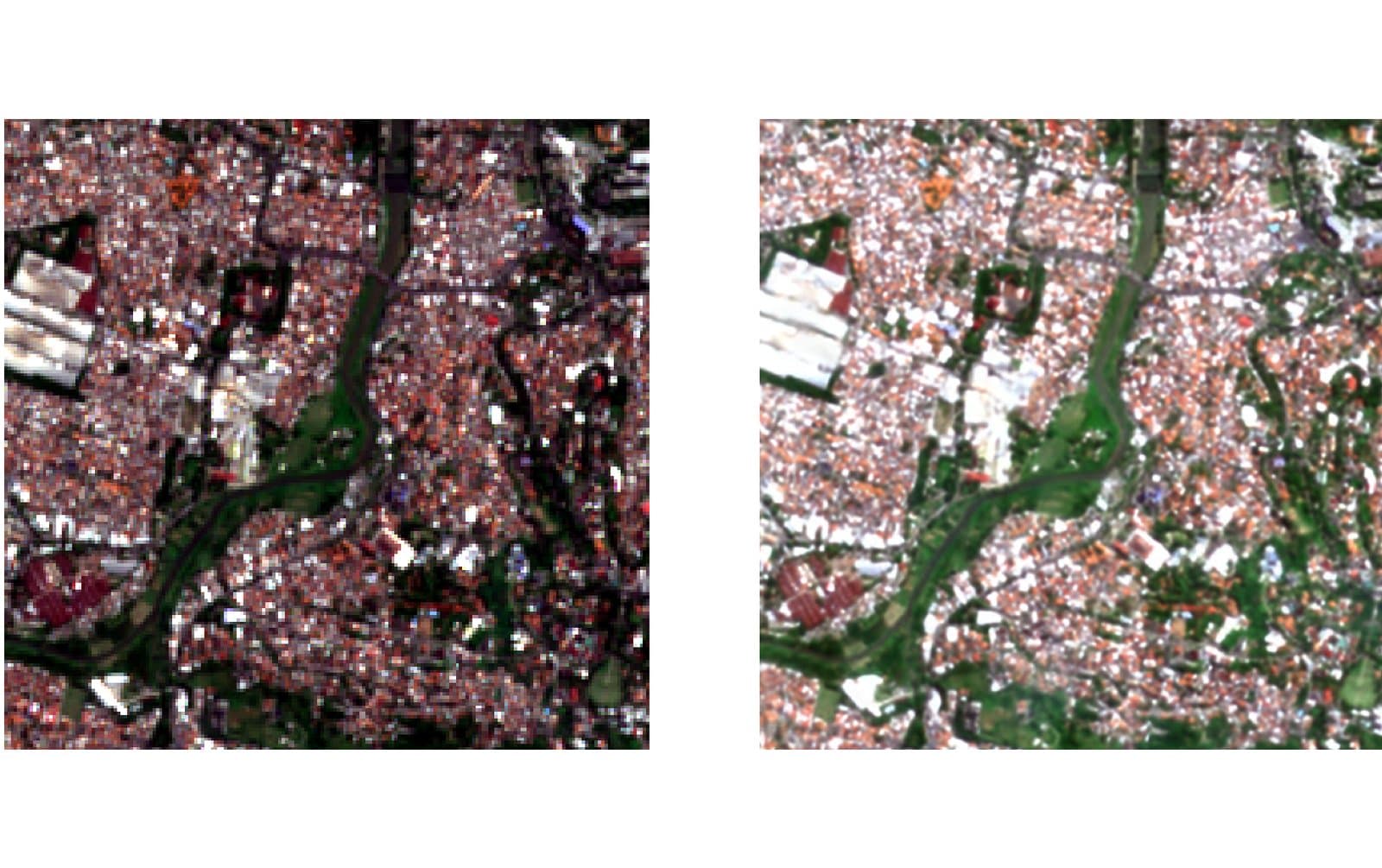
Deep-Learning Super-Resolution of Sentinel-2 Imagery (10 m → 3 m)
AI models that sharpen free Sentinel-2 imagery (10 m) towards PlanetScope resolution (~3 m), so buildings and paddy plots can be monitored without buying commercial imagery every time.
View case study →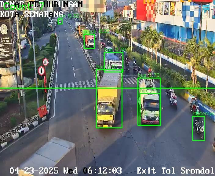
Urban Traffic Congestion Analytics: Probe Data & CCTV
Analysing 264 million traffic observations across Jakarta, Bandung and Semarang, then building a prototype that turns city CCTV into a congestion map of the whole road network.
View case study →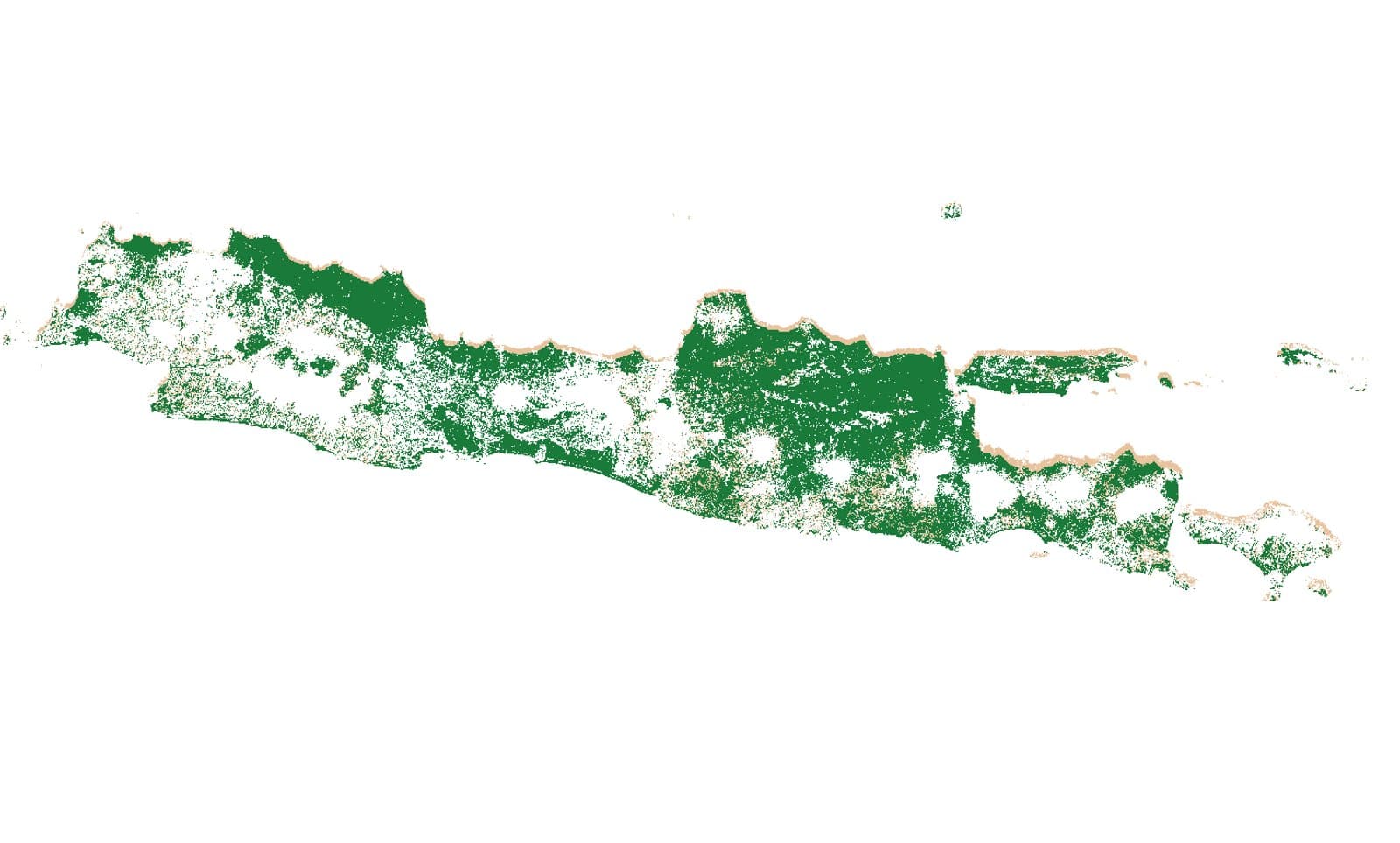
Mapping Paddy Fields, Rice Growth & Irrigation Performance with Sentinel-1 Radar
A paddy map of all of Java (~3 million ha), rice growth stages every 12 days, and irrigation performance per tertiary block, all from free, cloud-penetrating Sentinel-1 radar.
View case study →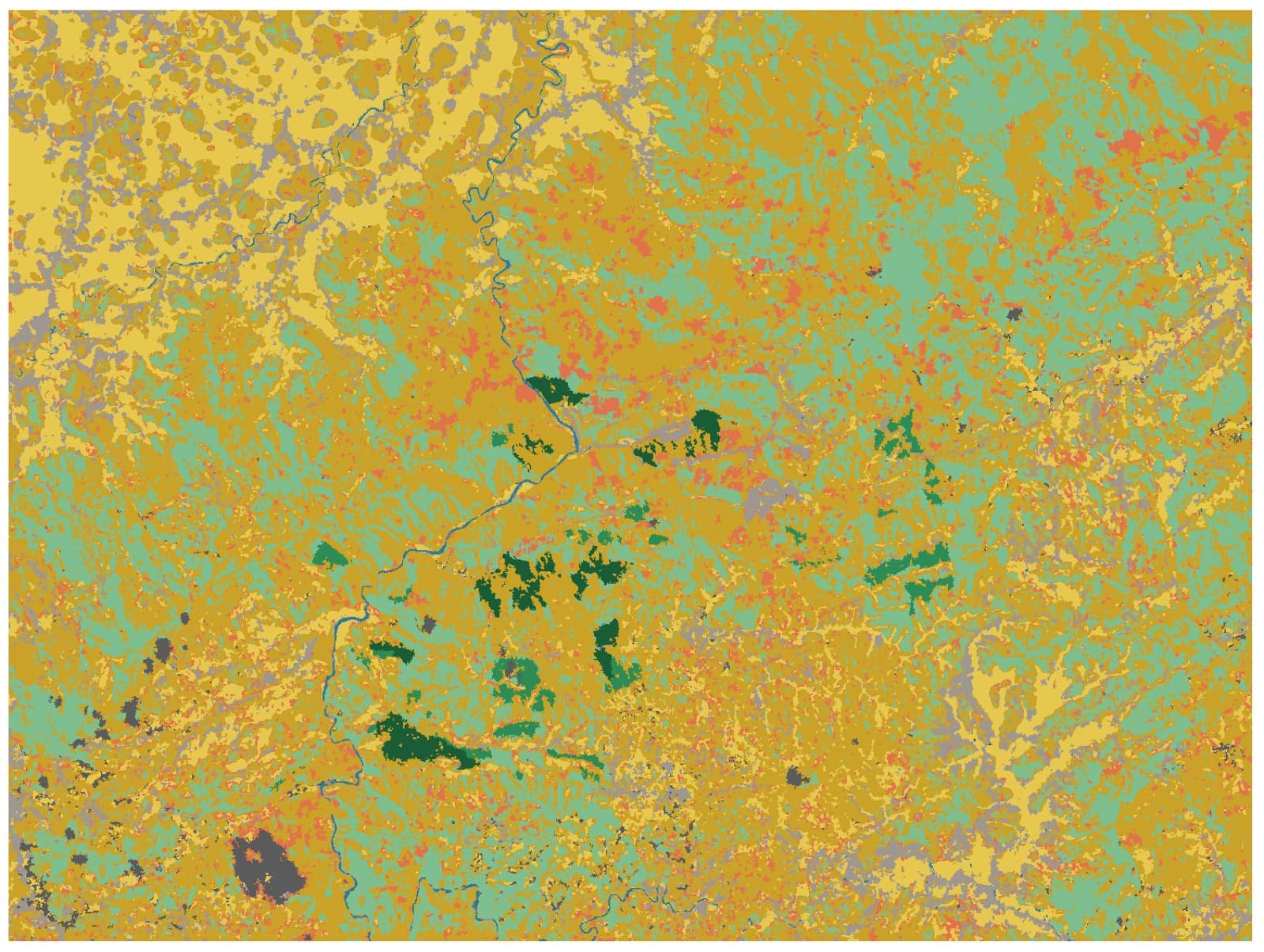
Object-Based Land Cover Classification for Cisokan
A 9-class, 3 m land cover map built from 10 PlanetScope images, radar and canopy-height data, reaching 89.5% overall accuracy.
View case study →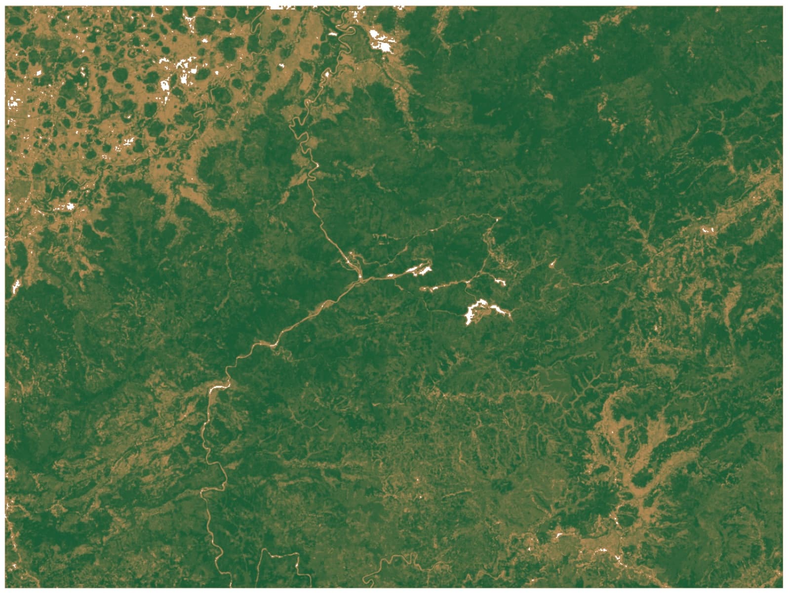
Upper Cisokan Pumped Storage: Land Cover & Reforestation Monitoring
Since 2020 we have supported PLN on the World Bank-funded Upper Cisokan Pumped Storage project: mapping land cover from satellite imagery, monitoring reforestation and analysing where protected wildlife lives.
View case study →Working on something similar?
Tell us what you need — we can help from field survey and analysis through to training your team.