
← All projects
Project
Upper Cisokan Pumped Storage: Land Cover & Reforestation Monitoring
Since 2020 we have supported PLN on the World Bank-funded Upper Cisokan Pumped Storage project: mapping land cover from satellite imagery, monitoring reforestation and analysing where protected wildlife lives.
- continuous support
- 2020–now
- landscape analysed
- ~110 km²
- land cover map accuracy
- 89.5%
- focal species mapped
- 11
The challenge
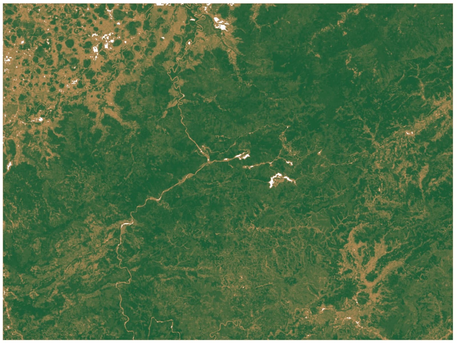
Building the Upper Cisokan pumped storage plant changes a landscape of forest, mixed gardens and paddy fields in the upper Cisokan watershed. As a World Bank-funded project, PLN needs reliable spatial data to track land cover change, know where protected wildlife lives, and confirm that reforestation is actually taking hold.
Our approach
Dr. Firman Hadi, Indotechsa’s GIS Specialist, serves as GIS Expert on the project team:
- Land cover mapping from Landsat time series and high-resolution PlanetScope imagery, classified with OBIA and Random Forest (see the Cisokan Land Cover Classification case study).
- Reforestation monitoring: mapping planting blocks and work zones, tracking young regrowth, and preparing planting plans.
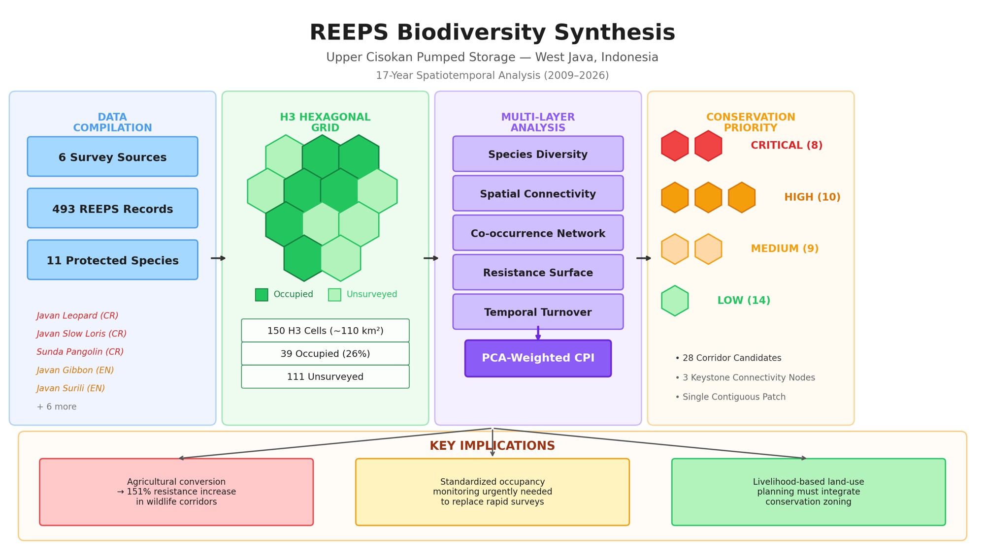
- Biodiversity spatial analysis: bringing field records of rare and protected species (REEPS) from 2009–2026 into a single database, then analysing them with an H3 hexagonal grid, diversity indices and a conservation priority index.
- Web maps and reports for the PLN team and stakeholders.
Results
- A 9-class land cover map at 3 m resolution with 89.5% overall accuracy on held-out data.
- A unified wildlife database for 11 focal species across a ~110 km² landscape, feeding conservation priority maps.
- An interactive web map of the 2026 planting plan for field teams.
- Methods documented as an interactive course and workshop materials, so the team can learn and repeat them.
Photos
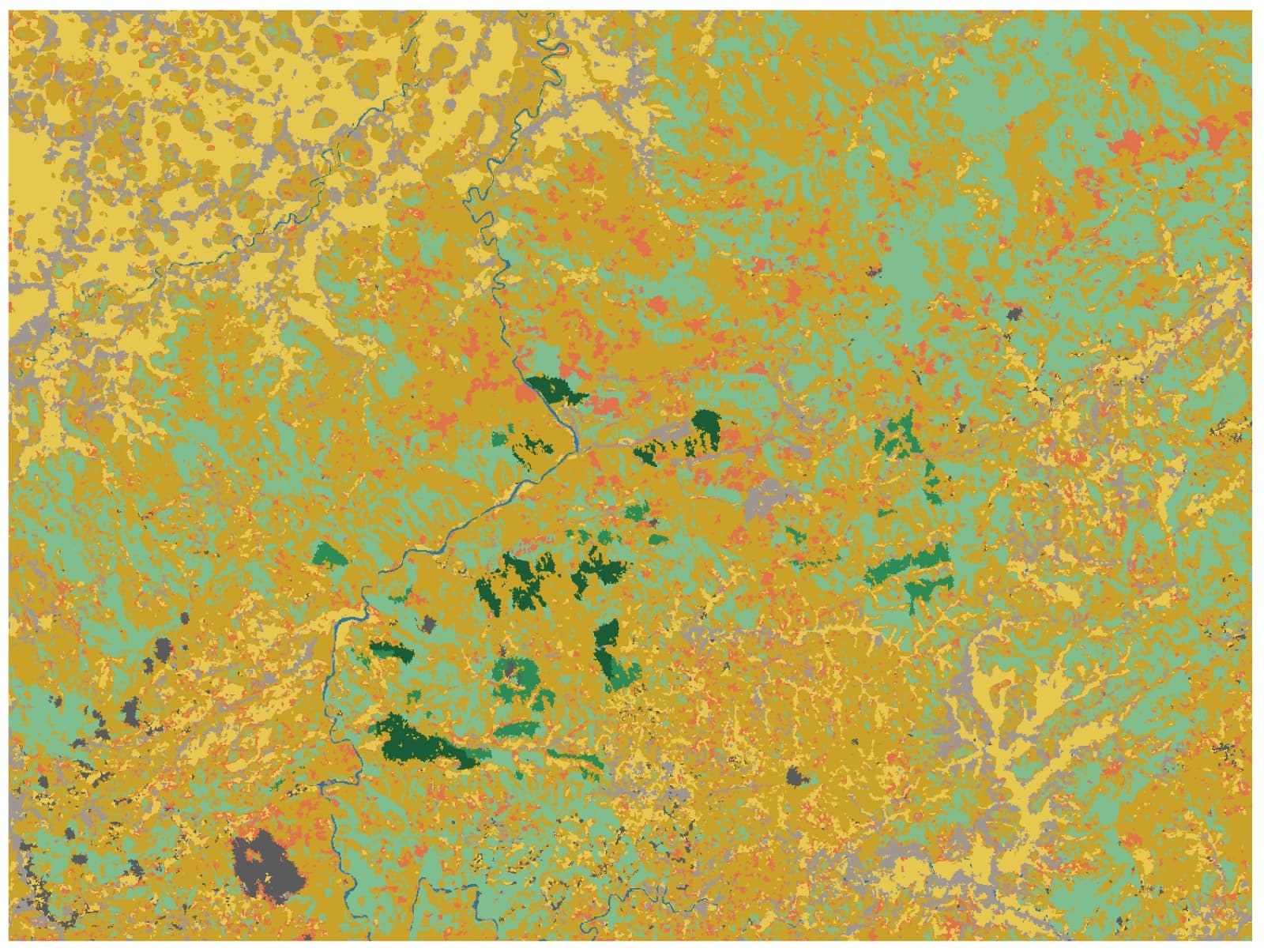
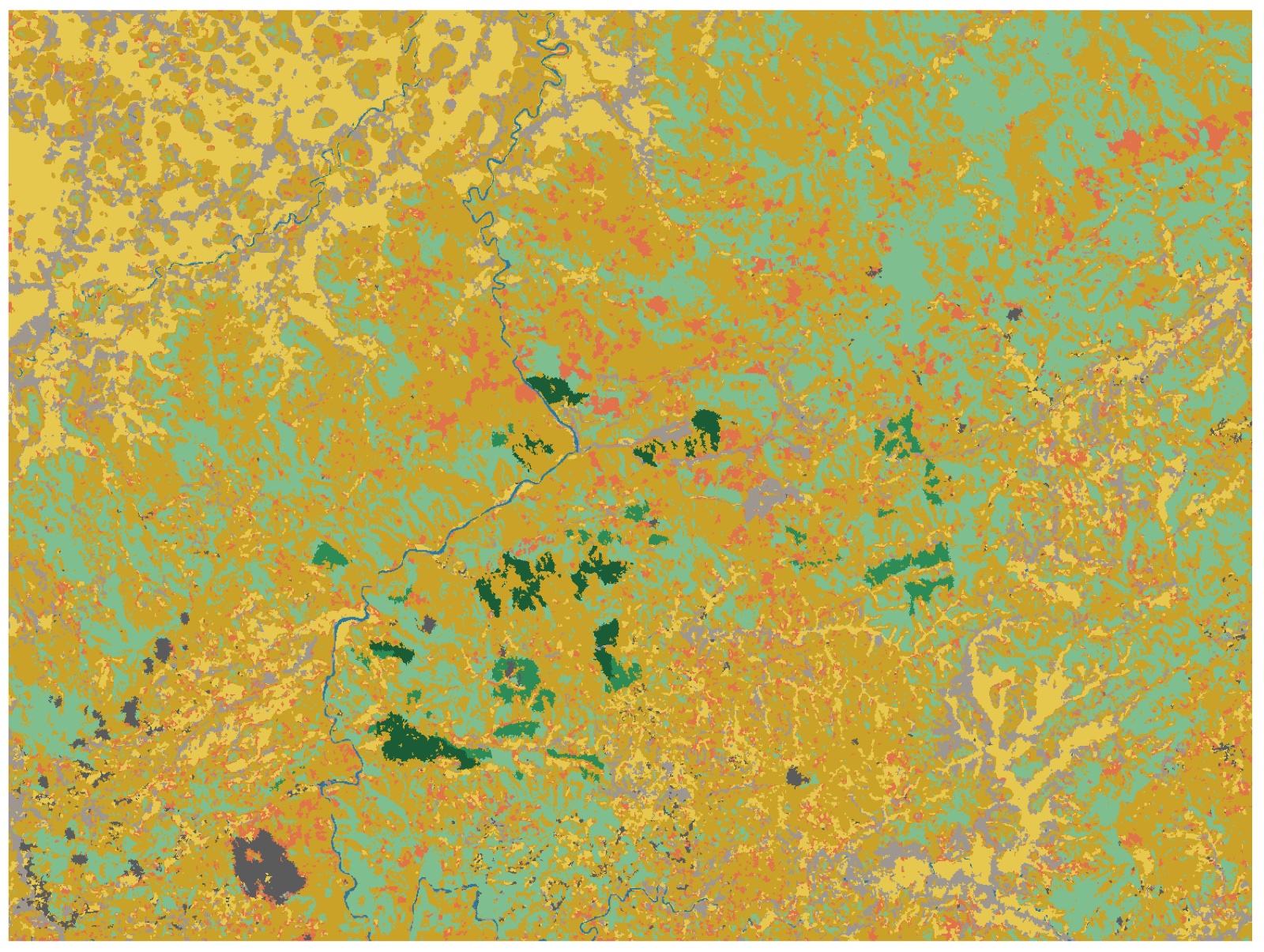
9-class land cover map of the Cisokan watershed (3 m resolution) 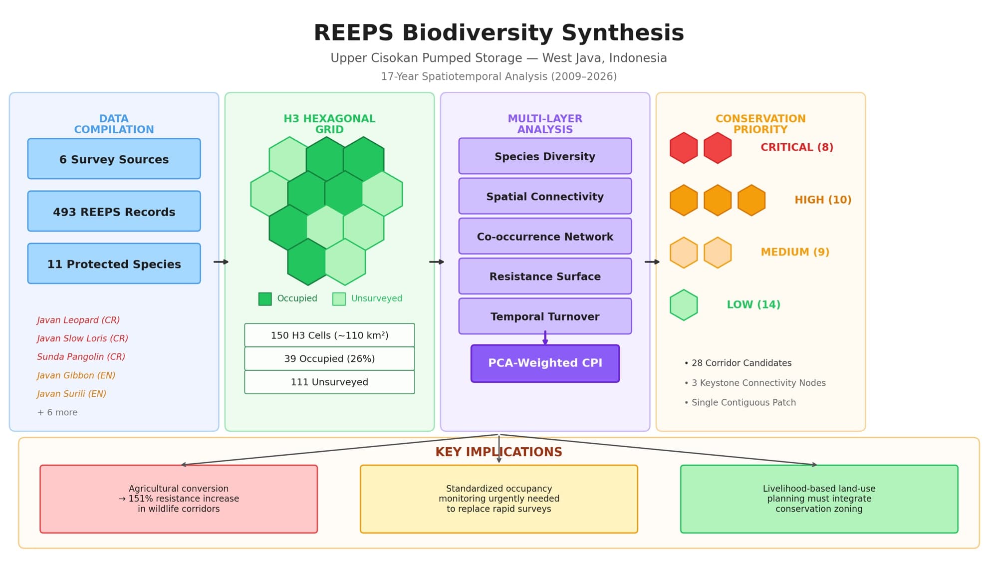
REEPS biodiversity synthesis: 2009–2026 survey data, H3 hexagonal grid, multi-layer analysis and conservation priority
Working on something similar?
Tell us what you need — we can help from field survey and analysis through to training your team.