
Mapping for Conservation: Radar-Optical Fusion, OBIA and Biodiversity Analysis
A hands-on course over 3 Saturday mornings: from radar and optical imagery to a land cover map, then to a conservation priority map.
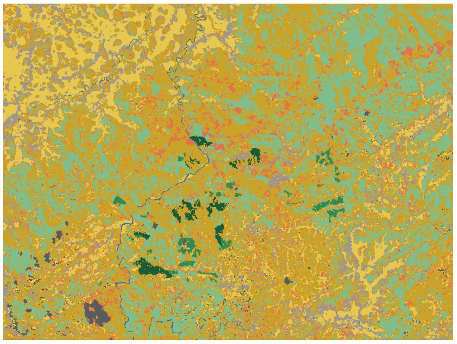
Conservation & Ecology track — field survey → radar & optical imagery → biodiversity analysis → WebGIS on your own server.
A hands-on course in 3 sessions × 3 hours, every Saturday 09:00–12:00 WIB:
- Saturday 16 January — Preparing optical and radar imagery, then object segmentation (OBIA) with Orfeo ToolBox
- Saturday 23 January — Hierarchical Random Forest classification and accuracy assessment in Python
- Saturday 30 January — From land cover to biodiversity: species diversity maps, habitat connectivity and conservation priorities on an H3 grid
Based on our projects: Cisokan Land Cover Classification and Upper Cisokan Pumped Storage.
You need: a laptop with QGIS and Python installed, and basic GIS knowledge.
Included: practice data, Python scripts, a recording of every session, and a certificate. In-house training with data from your own area is available — contact us.
Speakers
Dr. Firman Hadi
Ecologist, remote-sensing specialist, programmer and IT-infrastructure designer — Lecturer in Geodetic Engineering, Universitas Diponegoro; 20+ years; World Bank/ADB consultant